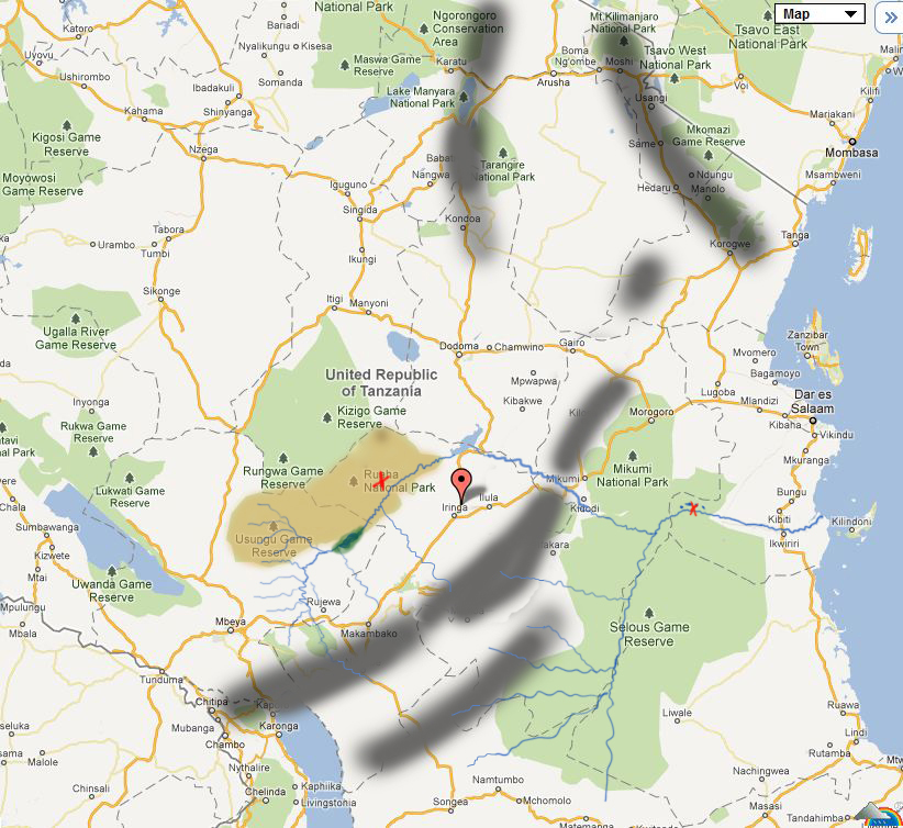
This safari video was taken in Ruaha National Park in late June about six weeks after the end of the rains. The red 'X' on the map of Ruaha shows the approximate position of Kwihala camp.
Game viewing was superb because more and more animals were heading to the Park from the miombo woodland as it dried out. The Great Ruaha river was in superb shape, flowing from bank to bank. There were numerous sightings of elephant families, hippos and crocodiles as well as all the other residents of the Park. Of particular note are the number and size of lion prides here.
This video features elephants on the Ruaha river and also some lion cubs towards the end.
The grey lines on the map indicate the position of mountainous areas which capture the incoming rainfall from the East, and cause Ruaha to have much lower rainfall than Selous.