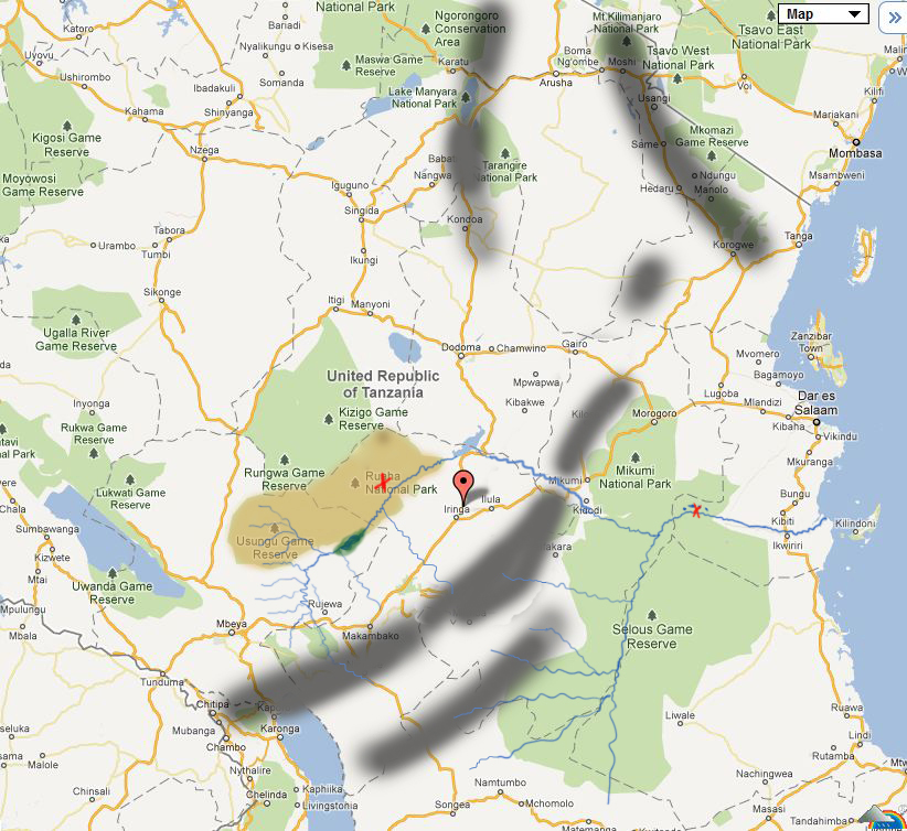
This safari video was taken in Ruaha National Park in late August and early September about a month before the Great Ruaha river stopped flowing until the next rains, due in November. The red 'X' on the map of Ruaha shows the approximate position of Kwihala camp.
Game viewing was superb and we were able to get extremely close to elephants and lions. Sometimes scarily close!
Also of note was a huge herd of around 700 Buffalos that had taken up residence around the Mwagusi river.
The grey lines on the map indicate the position of mountainous areas which capture the incoming rainfall from the East, and cause Ruaha to have much lower rainfall than Selous.